
South Atlantic Water Science Center
South Atlantic Water Science Center
 The Apalachicola-Chattahoochee-Flint (ACF) River basin, located in the southeastern United States (fig. 1), was among the first 20 NAWQA study units selected for study in 1991 (Wangsness and Frick, 1991). The ACF River basin drains about 19,800 mi2 in western Georgia, eastern Alabama, and the Florida panhandle, and is comprised of the Chattahoochee and Flint Rivers that converge at Lake Seminole to form the Apalachicola River. The Apalachicola River flows south through the Florida panhandle into Apalachicola Bay, which discharges into the Gulf of Mexico. Basin hydrology is influenced by 16 reservoirs that cause about 50 percent of the mainstem river miles to be in backwater, and play a major role in controlling flow and influencing the quality of water in the basin. The basin is underlain by five major aquifer systems; crystalline rock aquifers in the Blue Ridge and Piedmont physiographic provinces in the northern part of the basin, and four aquifers in the Coastal Plain physiographic province in the southern part of the basin. For more detailed information on the environmental setting of the ACF River basin, see Couch and others (1996).
The goal of the ACF River basin study design is to compare and contrast the effects of predominant land uses on surface- and ground-water quality. Forest and agriculture are dominant land uses and land covers within the ACF River basin, accounting for 59 and 29 percent of the study area, respectively. Most agricultural land in the upper and middle Chattahoochee and upper Flint River subbasins is used for livestock grazing and poultry production, while most agricultural land in the southern ACF River basin is used for row crops and vegetables; and to a lesser extent, orchards. Urban land use accounts for 5.3 percent of the study area. In 1990, the population of the ACF River basin was about 2.64 million people, 60 percent of which lived in the Metropolitan Atlanta area. Wetland areas account for about 5.4 percent of the entire basin. Agricultural and urban land uses are of particular interest within the ACF River basin, because they have the greatest potential impact on the physical, chemical, and biological quality of the surface- and ground-water resources.
The National Water-Quality Assessment Program (NAWQA) provides an understanding of water-quality conditions; whether conditions are getting better or worse over time; and how natural features and human activities affect those conditions. Regional and national assessments are possible because of a consistent study design and uniform methods of data collection and analysis. Monitoring data are integrated with geographic information on hydrological characteristics, land use, and other landscape features in models to extend water-quality understanding to unmonitored areas. Local, State, Tribal, and national stakeholders use NAWQA information to design and implement strategies for managing, protecting, and monitoring water resources in many different hydrologic and land-use settings across the Nation.
The USGS implemented the National Water-Quality Assessment (NAWQA) Program in 1991 to develop long-term consistent and comparable information on streams, rivers, ground water, and aquatic systems in support of national, regional, State, and local information needs and decisions related to water-quality management and policy. The NAWQA program is designed to address the following objectives and answer these questions:
USGS scientists collect and interpret data about surface- and ground-water chemistry, hydrology, land use, stream habitat, and aquatic life in parts or all of nearly all 50 States using a nationally consistent study design and uniform methods of sampling analysis (access NAWQA protocols).
From 1991-2001, the NAWQA Program conducted interdisciplinary assessments and established a baseline understanding of water-quality conditions in 51 of the Nation's river basins and aquifers, referred to as Study Units. Descriptions of water-quality conditions in streams and ground water were developed in more than a thousand reports (access NAWQA publications). Non-technical Summary Reports, written primarily for those interested or involved in resource management, conservation, regulation, and policymaking, were completed for each of the 51 Study Units. Non-technical national summary reports on pesticides, nutrients, and volatile organic compounds (VOCs) also were completed, in which water-quality conditions were compared to national standards and guidelines related to drinking water, protection of aquatic life, and nutrient enrichment.
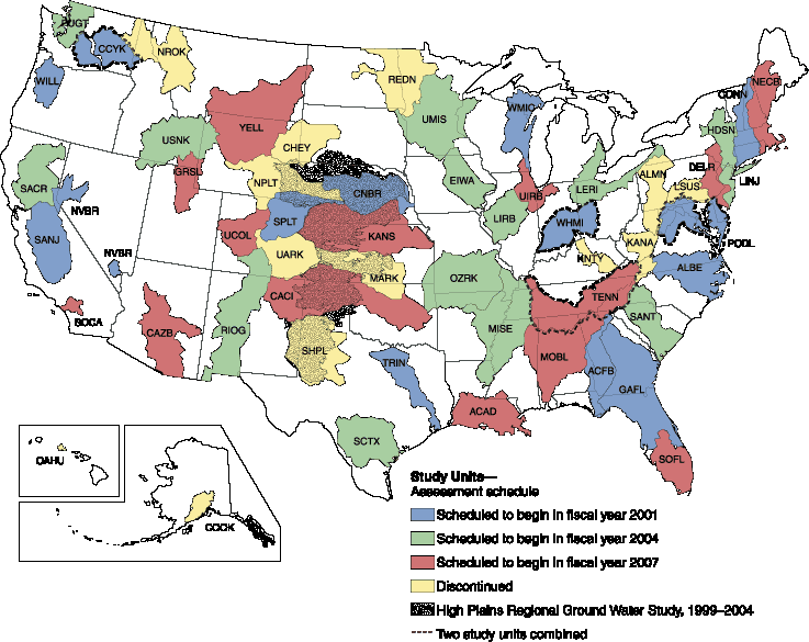
NAWQA activities during the second decade (2001-2012) focus in large part on national and regional assessments, all of which build on continued monitoring and assessments in 42 of the 51 Study Units completed in the first cycle (USGS Fact Sheet 071-01).
Selected major activities during the second decade include:
NAWQA is planning activities for its third decade (2013-2023) (access a summary of the Program's progress through 2008 and setting the stage for the future).